
Walking New London Streets by Address
A useful by-address search starts with a checked address, not a guessed person name. New London County has no county clerk or recorder. Municipal and state custodians hold the parcel, deed, voter, and permit trails. Settle the legal town first, then keep owner, taxpayer, mailing recipient, and occupant in separate fields.
- Run the full street, unit, city, state, and ZIP through the USPS address lookup. Treat the result as a postal check, not the legal town.
- Open the correct assessor or GIS viewer and compare owner or taxpayer, situs, mailing, parcel, and assessment date.
- Walk the street in MapGeo or the regional viewer. Save the map date and active layer.
- Use the town-clerk index to connect an owner to grantor, grantee, instrument, book, page, and legal description.
- Check the voter lookup for a known name and town, then use historical directories, newspapers, or libraries for an earlier occupant.
The chain is address to town, town to parcel, parcel to recorded parties, and then to corroborating sources. It explains the record trail without becoming a block list.
Connecticut has no county seats, and county government ended in 1960. New London is a practical records hub, not a county filing destination. Resolve the municipality before choosing a clerk, assessor, registrar, or records office.
New London Street Directory Records
Address-keyed records in New London answer different questions. An assessor card gives property and tax context. GIS supplies parcel location. A town-clerk index documents instruments. The voter lookup confirms a name-and-town match, while a permit file identifies work or an applicant, not necessarily a resident. No one source is a complete street roster.
| Record Set | Keeper | What It Shows | Access |
|---|---|---|---|
| Assessor parcel card | New London Assessor and VGSI | Owner or taxpayer, situs, mailing, parcel, values | Public web database; informational |
| GIS parcel map | MapGeo and SECOG | Parcel shape, layers, selected abutters, map context | Public viewers; approximate |
| Deeds, liens, and plats | Applicable town clerk | Grantor, grantee, instrument, date, book/page, legal description | Town portal, counter, books, or microfilm |
| Voter lookup | Town registrar and SOTS | Status, party, polling place, election fields for an entered person | Public name-and-town form; statutory limits |
| Permits and code files | Building or code office | Work, inspection, applicant, contractor, enforcement action | Address request or FOIA; no indexed city search found |
| Tax account | Municipal tax office | Bill, payment, account, or tax-status context | Town portal or office; not an occupancy roll |
| Reverse directory | Libraries and historical collections | Historical address and subscriber or household snapshot | Collection rules, appointment, or research service |
The parcel identifier bridges a map and property record. A deed’s legal description is stronger for older work. Keep the source date with every row.
USPS First, Then the Legal Town
Postal geography is the first local trap. USPS offers By Address, By City and State, and Cities by ZIP. By Address accepts a street plus optional unit, company, city, state, and ZIP. City and state searches can return several codes, so a full-address check should come first.
New London County has 21 legal towns. New London 06320, Groton 06340, Mystic 06355, Pawcatuck 06379, West Mystic 06388, and Yantic 06389 are postal clues, not town-clerk destinations. Mystic spans Groton and Stonington. In 2019, delivery use expanded for 06389 Yantic and 06334 Bozrah.
Record both the postal result and legal municipality. That choice controls deeds, voter records, permits, vital records, and copy requests.
New London Street Records in VGSI
The New London VGSI assessment database starts the city parcel search. The assessor reports the 2025 Grand List filed January 30, 2026. VGSI states that values are 70 percent of fair market value at the October 1, 2023 revaluation.
The successful VGSI capture below shows the public entry point, not a substitute for the live parcel card.
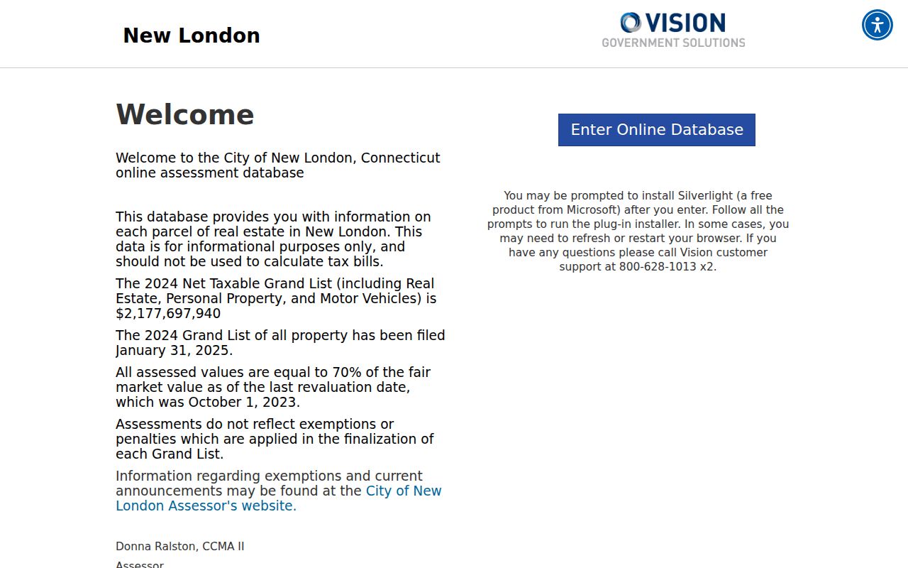
The live card is expected to show owner or taxpayer, situs, mailing, parcel identifier, land and building values, total assessment, and possible sketch or exemption fields. Exact dynamic labels were not exposed, so record the labels and date with a current result.
VGSI is informational, may omit final exemptions or penalties, and is not a tax-bill calculator. A mailing destination is correspondence data, not proof of occupancy. A trustee, estate, business, caretaker, or mortgage-related party can appear.
MapGeo Turns Streets Into Parcels
The New London MapGeo viewer moves a search from a typed address to nearby parcels. Visible tools include Property Quick Search, Search, Selection, Themes, Markup, Abutters, Zoom To, Share, and Print.
The successful MapGeo capture below shows the city parcel map and its tool set.
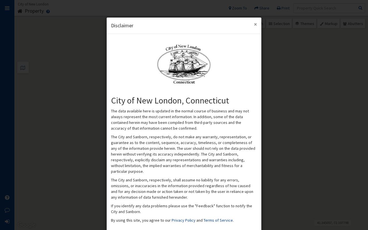
Note the selected parcel ID, map date, theme, and disclaimer. The map is informational or approximate, not a survey.
The SECOG regional GIS viewer adds 2D and 3D modes, layers, property search, find-abutters, mailing lists, and map or survey search. Fields vary by layer. Follow each parcel to its own assessor or clerk.
For a house-history question, compare the current municipal parcel, the regional abutter layer, and a historical map or directory entry. The first locates a current tax parcel, the second helps with nearby lots and map links, and the third can explain a vanished street or changed building footprint.
New London Deeds, Town by Town
Connecticut has no county recorder. Under CGS §7-25, each town clerk keeps alphabetical grantor and grantee indexes with instrument nature, date, book, page, and location. Section 7-25a supports electronic indexes. The New London City Clerk is at 181 State Street, New London, CT 06320, open weekdays 8:30 a.m. to 4 p.m., with phone 860-447-5205 and recording through 3:45 p.m.
Access is town-specific. Cott’s RecordHub lists Bozrah, Griswold, Groton, Montville, Old Lyme, and Stonington. The legacy Connecticut Town Clerks Records portal is a login and subscription route. A New London city URL was not exposed, so start with the City Clerk.
The representative Cott search capture below illustrates the index style. It is from Deep River, not from a New London County deed.
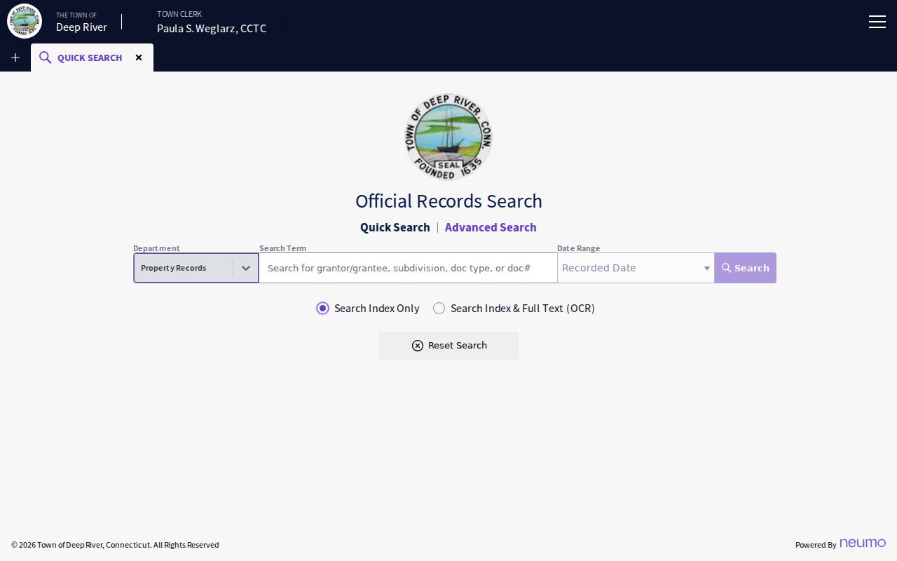
The example exposes date filed, kind, grantor, grantee, description, file number, book/page, reference, amount, and image indicator. Search options vary by town, and may include terms, dates, document type, image, index-only, or OCR.
When a web result stops, ask the clerk for earlier books, indexes, microfilm, or a certified copy. Image, subscription, download, and print rules vary. A permanent index is not the same as complete web coverage.
Address Permits Need a Request
Permits, inspections, demolition, maintenance, and floodplain files are address-keyed, but no indexed New London permit search was located. The Building Division is the fallback. Name the address or parcel, record type, date range, and preferred format.
The Building Official page describes the work and directs applications to 111 Union Street with plans, fees, authorization, and certificates. An applicant or contractor is not proof of ownership or occupancy.
For an unindexed assessment detail, historic card, permit file, or other record, the Connecticut Freedom of Information Act supplies the request framework, subject to exemptions. Ask the custodian first for routine parcel or deed questions.
New London Voter Results, Not Street Rosters
The public Connecticut voter lookup is person-and-town based. It asks for town, last name, first name, and DOB in MM/DD/YYYY format. A result can show status, party, polling place, and election fields. It is not an open street roster, and a blank result can reflect town, spelling, timing, status, or privacy.
| Lookup field | Type | Required | What the result means |
|---|---|---|---|
| Town | Dropdown | Needed for a useful match | Select one municipality; there is no county option |
| Last Name | Text | Required | Spelling affects the match |
| First Name | Text | Optional | Narrows same-name results |
| Date of Birth | Text | Optional; MM/DD/YYYY | Only birth year is public under PA 26-1 §96 |
| Result | Status fields | Search action | May show status, party, polling place, and election fields |
The full voter file is CSV-only, costs $300, and requires an election-related, scholarly, journalistic, political, or governmental purpose. It bars personal or private misuse, advertising, solicitation, sale, marketing, reproduction, display, harassment, and intimidation. Use the individual lookup within its limits, not as a block list.
TotalVote is expected to replace the centralized platform in December 2026. The July 2026 update describes system testing, not a new public street search. Recheck the form after launch.
Reverse Directories Give Streets a Past
Current parcel records do not replace historical address work. New London city directories begin in 1853; Norwich runs from 1846 to 1986 at Otis Library. A reverse or criss-cross directory leads from street or address to a subscriber or household entry. Note the year, address, name, spouse or widow notation, and occupation, then pair it with a deed, newspaper, obituary, probate file, or census.
The New London city directory collections page covers the historical shelf. Use it as corroboration, not a current resident list. An entry may represent a subscriber, business, owner, renter, or person who moved before publication.
- Parcel
- A mapped unit of land identified by a local assessor or GIS system.
- Situs address
- The physical location assigned to a parcel, distinct from a tax mailing address.
- Plat
- A recorded map or subdivision reference that helps connect a deed to a lot.
- Criss-cross directory
- A directory arranged so an address can lead to a name, rather than only a name leading to an address.
Postal Labels Mislead New London Streets
A street search can fail when a postal label is treated as a civil boundary. Mystic sits in both Groton and Stonington. West Mystic 06388, Pawcatuck 06379, Yantic 06389, and Bozrah 06334 are delivery clues, but deeds, voter records, permits, and assessor cards route by legal town.
History creates another mismatch. Shapley Street disappeared during 1960s Winthrop Cove urban renewal, and no complete old-to-new bridge was located. Search former spelling, cross streets, maps, legal descriptions, and newspaper notices. Label an unproved conversion as a gap.
A postal address, situs, mailing destination, and legal description can point to related places without being interchangeable.
New London Street Directory Boundaries
A public street record can identify an owner or taxpayer, not every person at an address. A renter, visitor, or household member may not appear. DMV data is restricted by the DPPA, utilities are not a public directory, and a court or police result may be protected or unrelated to current presence.
Connecticut’s Safe at Home program can substitute a mailing address and suppress residential information for qualifying participants. CGS §1-217 also provides protection routes for specified officials and public-safety or court-related people. Contact the custodian about correction or redaction rather than reposting a protected address.
Stonington’s July 2026 PropertyCheck offers free text or email alerts for a name in Stonington Land Records. It is name-only and town-specific, not a New London County alert. No countywide property-fraud alert was located.
Lawful use. New London street and address records are for personal, lawful research, family history, civic curiosity, and safety awareness. Do not use these records to stalk, harass, intimidate, or harm another person.