
Looking Around a New London Block
A neighbor search begins with the parcel beside an address, not with a claim that a public list contains everyone nearby. New London County has no single county resident roll. The block record is assembled from a map, municipal property data, town-clerk instruments, a limited voter match, public civic pages, and historical collections. Each source has its own keeper and access rule. The strongest result names the town, parcel, source date, and relationship shown by the record.
| Source | What It Shows About a Block | Access |
|---|---|---|
| MapGeo and SECOG | Target and adjacent parcels, layers, selection, abutters, map context | Public viewers; approximate and informational |
| Assessor or VGSI card | Owner or taxpayer, situs, mailing destination, parcel, values | Public web card; one parcel at a time |
| Town-clerk index | Transfers, liens, plats, instruments, legal descriptions | Town portal, counter, books, or microfilm |
| Connecticut voter lookup | Status, party, polling place, and election fields for an entered person | Public name-and-town form; no open block search |
| Building or code office | Permit, inspection, demolition, or enforcement activity | Address request or FOIA; no indexed city search found |
| Civic and neighborhood pages | Public meetings, participation routes, and named planning stakeholders | Municipal pages and public plans; no member roster |
| Libraries and historical collections | Earlier streets, households, newspapers, and directory context | Appointment, collection, or research-service rules |
An assessor card can identify an owner, taxpayer, or mailing recipient, but it does not establish that the person lives there. A GIS parcel is a shape, not a household. A voter result is tied to one entered name and town. Read the rows together, and keep an occupant inference separate from an official field.
New London Neighbor Blocks, Parcel by Parcel
The adjacent-parcel method keeps a block lookup narrow and repeatable. Begin with one address, select the surrounding parcels, and follow each parcel to its own public record. MapGeo confirms Selection and Abutters tools, while SECOG offers regional property, abutter, and mailing-list controls. Dynamic map layers can differ, so record exactly what was selected rather than describing a radius that the viewer did not show.
- Validate the complete street address and identify the legal town. A postal city or village name is not enough for a deed or town record.
- Search the target address in the city or regional GIS viewer. Zoom until parcel boundaries are visible, click the target, and note the parcel identifier, layer, date, and disclaimer.
- Click adjacent parcels or use the available Abutters or Selection mode. Open assessor results one parcel at a time, labeling owner, taxpayer, situs, and mailing destination separately.
- Use the town clerk, voter lookup, or historical collection only for the specific follow-up question. For a full named-street chain, switch to the New London street directory workflow.
The output is a selected parcel set, not a finished list of people. Save the map date and the source for each name or property fact. An adjacent lot can have a different legal town, mailing address, historic street name, or deed chain.
MapGeo Makes New London Parcels Legible
For a New London block, the MapGeo viewer is the most direct way to move from one address to the shapes around it. Property Quick Search, Search, Selection, Themes, Markup, Abutters, Zoom To, Share, and Print are the visible controls. The workflow is useful for locating an adjacent lot, checking a street pattern, or finding the parcel identifier that should be carried into an assessor search.
The New London MapGeo capture in the image manifest shows the public parcel interface and its map tools.
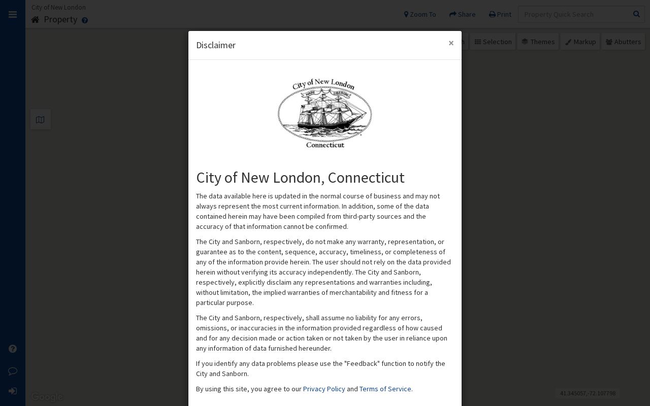
Use the image as a route marker, then check the live viewer. City and Sanborn disclaimers describe the map as informational or approximate. A boundary line is not a survey, and a selected abutter is not automatically a person who lives next door.
SECOG Maps New London Neighbor Parcels
The SECOG regional GIS viewer helps when a block crosses a municipal edge or when the local map needs regional context. Its public interface supports 2D and 3D modes, layer overlays, property search, find-abutters tools, mailing-list creation, and map or survey search. The active layer controls what can be selected, so a mailing list or abutter result should be dated and described with the map mode used.
The successful SECOG capture below records the regional viewer, including its parcel and abutter tools.
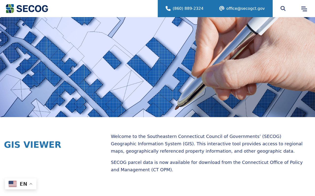
SECOG is a regional map, not a county household directory. Follow a selected parcel to the responsible town assessor or clerk. The New London VGSI portal states that assessment is 70 percent of fair market value at the October 1, 2023 revaluation. Its card can show an owner or taxpayer, situs, mailing address, parcel identifier, values, sketch, or exemption fields, but the data are informational and may omit final exemptions or penalties.
New London Voter Results, Not a Roster
Connecticut’s public voter lookup can help test a known name and town, but it cannot create a public block roster. The form uses a town dropdown, last name, first name, and date of birth in MM/DD/YYYY format. A match can show current registration status, party, polling place, and related election fields. It does not prove title, occupancy, mailing receipt, or a person’s presence outside the registration record.
| Field | Type | Required | Public result or limit |
|---|---|---|---|
| Town | Dropdown | Needed for a useful match | Select one of 169 towns; there is no county option |
| Last Name | Text | Required | Spelling affects the match |
| First Name | Text | Optional | Narrows a same-name result |
| Date of Birth | Text | Optional; MM/DD/YYYY | Only birth year is public under PA 26-1 §96 |
| Result | Status fields | Search action | Status, party, polling place, and election fields may appear |
The full voter file is a separate request. The state form is CSV-only, costs $300, and requires an election-related, scholarly, journalistic, political, or governmental purpose. It bars personal, private, commercial, advertising, solicitation, sale, marketing, reproduction, display, harassment, and intimidation uses. The voter-file request form should not be treated as a shortcut to a neighbor list.
If a nearby name does not appear, possible explanations include a different town, spelling, inactive or removed status, a timing gap, or protected information. A Safe at Home participant may have residential information suppressed. The expected December 2026 TotalVote launch is a system change, not evidence that an open block search will become available.
Civic Contacts for New London Blocks
Public civic programs add a human route to a neighborhood without publishing private membership information. New London’s Citizens Advisory Committee includes residents and civic groups and meets on the second Thursday at 5 p.m. The City’s Neighborhood Academy is an eight-week civic program. Its 2026 schedule ran March 19 through May 14, with limited class capacity and participation open to New London residents, property owners, and business owners.
The Citizens Advisory Committee page shown in the manifest is a useful public contact point for meeting information and civic participation.
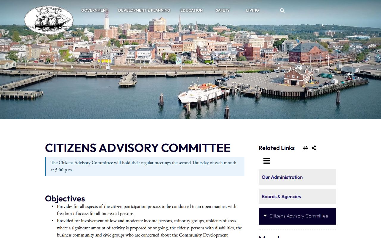
The capture connects a block question to an official meeting route rather than a private roster. Use the current city page for dates and participation details, and keep meeting attendance separate from a claim about who lives at a parcel.
Neighborhood Names, Not Member Lists
New London County planning documents name several neighborhood groups, but the references are public planning context, not membership directories. The useful fact is the town, the sponsoring document, and the public route for participation. A person who appears in a meeting or plan should not be assigned a broader address history from that appearance.
- The Freedom Trail Neighborhood Association is named in the City’s Hempstead Community Involvement Plan, which records resident interviews about reuse of the site as a community park. The official plan is the source context.
- Groton’s Sutton Park Master Plan names the Poquonnock Bridge Neighborhood Association as a stakeholder. The town planning document identifies the organization without exposing a private member list.
- Stonington’s adopted budget references a planned Downtown Pawcatuck Neighborhood Association. That reference is a planning clue, not proof that every person using the Pawcatuck postal label lives in the same legal town.
No official countywide neighborhood-association membership directory was located. Attend a public meeting or contact the sponsoring municipality when a civic question is legitimate. Do not infer a private neighbor roster from a plan, agenda, or organization name.
Historical Context for New London Blocks
When a current block map is blank, local collections can supply the earlier street layer. The New London Public Library accepts specific local-history questions and holds directories, newspapers, maps, Sanborn material, family sources, and town histories. Otis Library adds Norwich and regional directories, newspapers, indexes, and databases. The New London County Historical Society collections include newspapers, directories, deeds, wills, maps, family papers, and cemetery notebooks, with appointment-based research for deeper material.
This archive route supports family history, reconnecting with a past classmate or relative, and understanding how a neighborhood changed. Ask for a street, a year, and a specific record question. Pair a directory entry with a newspaper, deed, map, probate record, or obituary, and label the result as historical. A past address entry is not a current neighbor match.
Privacy Boundaries for a New London Block
Public parcel and civic sources stop well short of a complete block picture. The Safe at Home program can protect qualifying addresses. DMV data, utility and delivery-customer data, unlisted household members, and protected police or court information may also be unavailable. Connecticut’s CGS §1-217 provides address-protection routes for specified officials and public-safety or court-related people. If a public record exposes a protected address, contact the custodian and ask about correction or redaction instead of copying the address elsewhere.
A comparison helps set expectations. Official records are tied to a named custodian and a defined field. Compiled neighbor tools may combine public records and purchased datasets, merge same-name people, become stale, or charge for a report. Neither category should be treated as a complete account of who lives on a block.
| Question | Official public source | Compiled neighbor tool |
|---|---|---|
| What is shown? | A defined parcel, filing, status, or public meeting field | Mixed records assembled from several sources |
| Who controls it? | The town, state office, court, map custodian, or archive | The private publisher of the compiled report |
| How current is it? | Read the source date and update cycle | May lag, merge, or repeat an old address |
| What is the safe use? | Use the stated field for a lawful personal or civic question | Check the source and lawful-use limits before relying on it |
Stonington’s July 13, 2026 PropertyCheck notice shows the difference between a town service and a countywide tool. It offers free text or email alerts when an official document is recorded under a name in Stonington Land Records. It is name-only, not address or parcel-ID based. No New London County property-fraud alert was located.
Lawful use. New London neighbor research is for personal history, civic participation, reconnecting, and safety awareness. Do not use a block lookup to stalk, harass, intimidate, or harm another person.